How a PPG17 open space assessment worked
Reviewing plans, auditing every site, scoring quality and value, then consulting residents: the anatomy of an open space study.
The Common Ground editorial deskPublished 6 min read
For most of the 2000s, the standard method for assessing open space, sport and recreation provision in England was set out in Planning Policy Guidance note 17, universally known as PPG17. Published by the Office of the Deputy Prime Minister in 2002, with a companion assessment guide, it required local planning authorities to base their planning policies on a proper understanding of what open space existed in their areas, what condition it was in, and what local communities actually wanted from it. The result was a generation of assessments - carried out for councils such as the London Borough of Harrow, Erewash Borough Council and Medway Council - that followed a recognisable sequence of stages, from strategic review through audit, scoring, mapping and consultation to a final vision with deliverables.
The logic behind PPG17 was straightforward: planning authorities could not sensibly set local provision standards, negotiate planning obligations or refuse the loss of open land without evidence. The guidance asked authorities to assess need and audit provision side by side, and to derive local standards for quantity, quality and accessibility rather than relying on inherited national norms. The PPG17 document itself, preserved in the National Archives web archive, set out the framework; the companion guide set out how to do the work.
Setting the strategic context
A PPG17 assessment typically began not with site visits but with desk research. Consultants and council officers reviewed the relevant national policy, regional planning guidance and the local development plan framework, together with local strategies for parks, sport, play, biodiversity and community plans. The purpose was twofold: to make sure the assessment was consistent with higher-tier policy, and to identify local priorities the assessment would need to test. Existing local plan standards for open space - often expressed as hectares per thousand population - were examined to see whether they still reflected the pattern of provision or the aspirations of the community.
This strategic review was not a formality. Where a council had adopted a parks or green space strategy, a cultural strategy or a play strategy, the PPG17 assessment had to align with them, and conflicts between documents were flagged early. The Harrow PPG17 study is a good example of an assessment designed to feed directly into the emerging local development framework rather than sitting alongside it as a stand-alone report.
The audit of provision
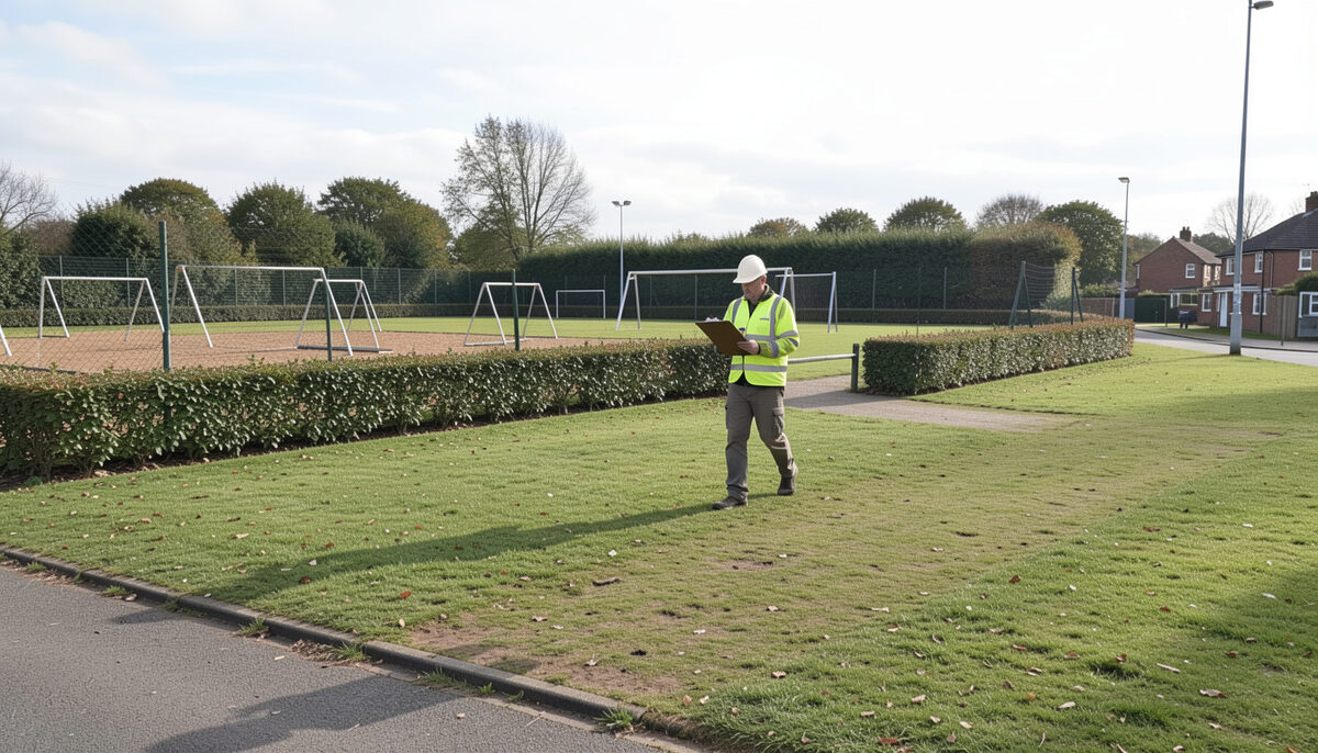
The heart of the method was a comprehensive audit of every open space and sport and recreation facility in the authority's area. Sites were classified by typology - parks and gardens, natural and semi-natural green space, amenity green space, provision for children and young people, allotments, cemeteries and churchyards, outdoor sports facilities and civic space - following the typology in the PPG17 companion guide. Each site was visited, measured and recorded, whether it was a major country park or a small patch of grass on a housing estate.
Councils such as Erewash Borough Council and Medway Council commissioned assessments on this pattern in the mid-2000s, and the approach became familiar: site registers, ownership and management information, and a primary record for every space. The audit gave the authority, often for the first time, a complete picture of what it actually owned and managed. Where playing pitches were involved, the audit fed into separate playing pitch work, and the relationship between the two exercises mattered: a playing pitch strategy built on the same site data but applied the deeper sport-specific analysis of the body then known as Sport England.
Scoring quality and value
PPG17 introduced a distinction that became the signature of the method: every site was scored separately for quality and for value. Quality was assessed on site, using a structured checklist covering maintenance, cleanliness, facilities, safety and environmental quality. Value was assessed differently, asking whether the site mattered - ecologically, historically, socially or functionally - regardless of its condition. A well-maintained space of little value and a scruffy space of high value would score very differently, and would point to very different management responses.
The two scores were then plotted against each other in a simple matrix. High quality, high value sites were protected and enhanced. Low quality, high value sites were priorities for investment. High quality, low value sites might be repurposed. Low quality, low value sites were candidates, in principle, for reconsideration, though only through the plan-making process. This matrix, more than anything else, gave PPG17 assessments their practical grip on planning decisions: it turned a subjective judgement about a piece of grass into a defensible, evidenced position.
Mapping and accessibility
Audit data was mapped using GIS, with each typology mapped separately and catchment analysis applied to test accessibility. Walking-distance catchments were drawn around sites so that gaps in provision could be identified spatially - which estates lay beyond a reasonable walk of a park, which neighbourhoods lacked equipped play space. Mapping turned the site register into a diagnostic tool. It also provided the evidence base for accessibility standards: instead of a purely numerical standard, authorities could adopt distance-based standards for each type of open space, tested against actual provision.
Mapping practice of this kind is described in more detail here, and the same techniques underpinned the audit work summarised at surveys and audits of local provision. In rural districts the mapping had to work harder, since catchments around small villages behaved differently from those in dense urban areas, and assessors adjusted their methods accordingly.
Structured community consultation
PPG17 required assessments to reflect local need, and that meant asking residents. Consultation was structured rather than opportunistic: postal questionnaires to a sample of households, sometimes supplemented by online surveys, face-to-face surveys in parks, and focus groups or workshops with particular interests - young people, sports clubs, friends-of-parks groups, allotment holders and elected members. Questionnaire design mattered, since the results had to be robust enough to carry weight in an examination of the local plan.
Good practice in this field is discussed at community consultation, done properly. The consultation tested perceptions of quantity, quality and accessibility, gathered views on priorities for improvement, and identified expectations that the audit alone could not capture - whether people felt safe using a space at night, for instance, or whether a site mattered for reasons that no site visit would reveal. For children's play provision, dedicated consultation with children and young people was increasingly expected, and tools developed for that purpose are described in the discussion of how children's play provision is assessed.
Vision, standards and deliverables
The final stage drew the threads together. From the evidence of the strategic review, the audit, the scoring matrix, the mapping and the consultation, the assessment set out a vision for open space, sport and recreation in the area, expressed through locally derived standards for quantity, quality and accessibility for each typology. It then identified deliverables: sites to protect, sites to enhance, gaps in provision to address, and the planning mechanisms - development plan policies, planning obligations, management programmes - through which the vision would be delivered.
Done well, as in the Harrow, Erewash and Medway studies, a PPG17 assessment was not a report that gathered dust. It became the evidence base for development plan documents, the justification for negotiating open space contributions from new development, and the starting point for green space strategies and investment programmes. When PPG17 was cancelled and replaced by national planning policy in 2011 and after, the underlying method - audit, score, map, consult, decide - survived largely intact, a story traced at from PPG17 to the NPPF. The broader principles of planning open space properly are set out at parks and open space, planned properly.