From PPG17 to the NPPF
What changed when national planning policy was rewritten in 2012, and what an open space study still has to prove.
The Common Ground editorial deskPublished 7 min read
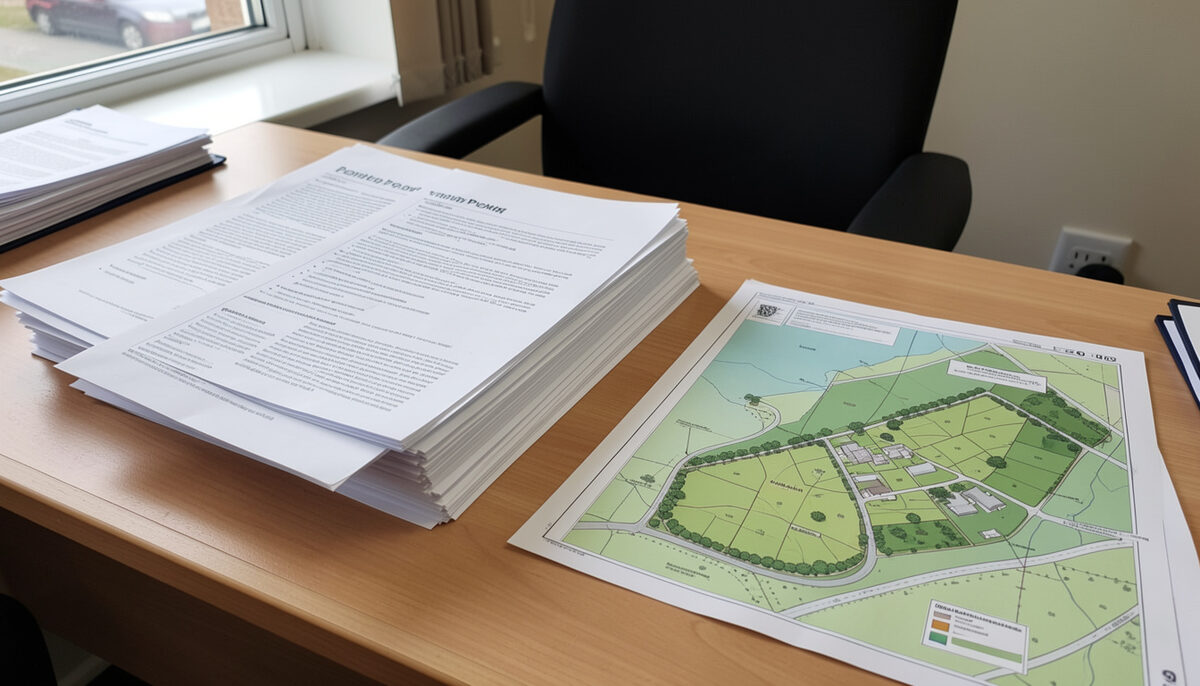
For just over two decades, the framework for planning open space, sport and recreation in England was anchored by a single piece of guidance: Planning Policy Guidance note 17, universally known as PPG17. From its issue in 1991 until its revocation in March 2012, PPG17 shaped how local authorities assessed need, set provision standards and defended existing open space against development pressure. When the National Planning Policy Framework (NPPF) replaced it, much of the detail changed, but the underlying principle survived: decisions about open space must rest on robust, up-to-date evidence.
Tracing the policy line from PPG17 to the NPPF, and from the NPPF to the present day, shows a continuity that is easy to miss. The guidance documents were replaced, but the method they established - audit, assess, consult, set standards - remains the working template for anyone planning parks, pitches and play space.
PPG17: the 1991 settlement
PPG17 was issued in 1991 at a time when playing fields and informal open spaces were widely regarded as vulnerable to development, particularly where land was in fragmented ownership or where existing facilities had fallen into disuse. The guidance set out the planning position: local authorities should assess the existing and future needs of their communities for open space, sport and recreation, and should identify land that met those needs in development plans.
Central to PPG17 was the presumption against building on open space that retained recreational or amenity value. An unused pitch or a neglected area of grass was not, in policy terms, surplus land simply because it was under-performing. The guidance required authorities to demonstrate that a space was genuinely surplus to requirements before its loss could be contemplated, taking account of the full range of recreational needs in the area.
PPG17 also introduced a discipline that was then relatively novel in this field: the idea that local standards of provision should be set locally, based on evidence of need and audit of supply, rather than imported wholesale from national benchmarks. This principle of locally-determined standards, tested against local circumstances, became one of the most durable legacies of the guidance.
The companion guide and the assessment method
In 2002 the government published a companion guide to PPG17, "Assessing Needs and Opportunities: A Good Practice Guide", which translated the policy into a practical method. The companion guide remains one of the most influential documents in the field precisely because it set out, step by step, how an authority should move from policy commitment to defensible evidence.
The method it described had several distinct stages. Authorities were to establish an audit of all open space, sport and recreation facilities in their area, recording quantity, quality and accessibility. They were then to assess need, drawing on consultation with local communities and stakeholders, since residents' actual patterns of use often differed from what planners assumed. From the combination of supply and demand evidence, authorities could derive local standards for different types of open space, which would then be applied in development plan policies and in negotiations over development contributions.
The companion guide was notably broad in its definition of open space. It covered not only parks and playing pitches but also children's play space, allotments, cemeteries and churchyards, natural and semi-natural greenspace, and civic spaces. That breadth meant that a PPG17-style open space assessment was a substantial undertaking, typically involving site-by-site visits, quality scoring, GIS mapping of catchments, and structured community consultation. The approach is described in more detail in relation to individual studies, including the Harrow PPG17 study, which illustrates how the method worked in practice in a London borough.
Two features of the method deserve emphasis. First, accessibility mapping: the companion guide encouraged authorities to test whether residents could reasonably reach different types of provision, using distance or walk-time thresholds set locally. Second, the separation of quantity, quality and accessibility as three distinct dimensions of provision, so that an area could be well supplied in acreage terms but poorly served by well-maintained, reachable space. These ideas have carried through into virtually every assessment framework used since, and they are reflected in the tools described in the articles on mapping open space and catchments and on surveys and audits of local provision.
The NPPF and Local Green Space designation
In March 2012 the government published the National Planning Policy Framework and, with it, revoked PPG17 along with the bulk of the remaining planning policy guidance notes and statements. The NPPF consolidated over a thousand pages of policy into a much shorter document, built around a presumption in favour of sustainable development. The official text can be found on the government's website at the National Planning Policy Framework publication page.
The NPPF did not abandon open space policy; it restated it in compressed form. Existing open space, sports and recreational buildings and land, including playing fields, should not be built on unless specific tests are met: the loss would have to be replaced by equivalent or better provision in terms of quantity and quality, or the development would have to be for alternative sports and recreational provision whose need clearly outweighs the loss. The familiar PPG17 logic of demonstrating surplus, or compensating for loss, survived the transition.
The NPPF also introduced something genuinely new: the Local Green Space designation. This allows local communities, through local and neighbourhood plans, to designate specific areas of green space of particular importance locally, for reasons such as beauty, historic significance, recreational value, tranquillity or richness of wildlife. Land so designated is protected consistently with the protection given to green belt. The designation is deliberately restrictive: it is intended for spaces that are demonstrably special to the local community, not as a general-purpose means of blocking development, and it cannot be applied to extensive tracts of land. Used properly, Local Green Space designation gives communities a tool that PPG17 never offered - a named, mapped, plan-based protection for the spaces they value most.
Why robust assessment still matters
The transition from PPG17 to the NPPF removed the companion guide's step-by-step method from formal policy. But it did not remove the need for evidence. On the contrary, the NPPF's tests for the loss of open space, its support for locally-determined standards, and the operation of Local Green Space designation all depend on authorities and communities being able to demonstrate, with current data, what provision exists, what condition it is in, who uses it, and what is needed.
An out-of-date assessment is a weak foundation on several fronts. An examination of a local plan will probe whether the evidence base supporting open space policies is sound and current. A neighbourhood plan group proposing Local Green Space designation must show that the space is special to the community, which in practice means consultation and documented evidence of use and value. And when a development proposal threatens an existing pitch or park, the arguments on both sides turn on the quality of the audit material and needs assessment available.
In this respect, the craft of open space planning has changed less than the paperwork. The tools described elsewhere on this site - from playing pitch strategies to the assessment of children's play provision and the national benchmarks developed by bodies such as Fields in Trust - all serve the same purpose the PPG17 companion guide set out in 2002: to ground decisions about green space in evidence rather than assertion.
From 1991 to 2012, PPG17 gave England a settled framework for open space planning, and its companion guide gave the profession a method. Since March 2012, the NPPF has carried the policy forward in leaner form, adding Local Green Space designation as a community-level instrument. The constant across both regimes is the demand for robust, up-to-date assessment. That demand has not been relaxed; if anything, the shorter the policy text, the greater the weight that falls on the evidence behind it.